Friday, November 29, 2019

You Win Some. You Lose Some.


While taking my son to school this morning, I saw a bronze colored VW Beetle fast approaching me. Unfortunately, circumstances did not allow me to photograph it as we passed one another.

After dropping my son off, I drove up Aldecoa Dr. and spotted this yellow one parked just below Silliman Univ. Hospital. Although I've photographed quite a few yellow VWs, a quick check of the license plate let me know that I hadn't come upon this particular one before.

Thursday, November 28, 2019

A Bit of Step Aeorbics in My Morning Walk.


Looking toward the future, the powers that be, who built the Diversion Road, put in sidewalks on both sides of the road running from the National Hwy. in Sibulan to where the road dead ends near Rovira Dr..

Every so often there is a division in the sidewalk to provide access to lots along the road. Again, an example of good planning on someone's part.

I haven't measured how high the sidewalks are in relation to the road, but one can see by the photos that the height isn't too shabby, as they say. This difference in height makes for an additional leg work-out when walking along the road.

A nice bit of step aerobics.

Tuesday, November 26, 2019

The Levee


From time to time, I will mention the Diversion Road that runs thru Sibulan. The Sibulan portion of the road dead-ends just short of Rovira Dr. in Dumaguete. Eventually, the road will by-pass Dumaguete city, freeing up the streets in Dumaguete proper.

The section in Sibulan basically runs parallel to the Okoy river. Although one wouldn't think it by looking at the current level of the Okoy, the river has been known to flood during the rainy season and in their wisdom, the powers that be have constructed a levee along the side of the Okoy nearest the Diversion Road.


The Bundók


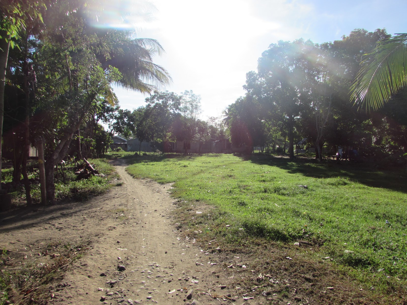
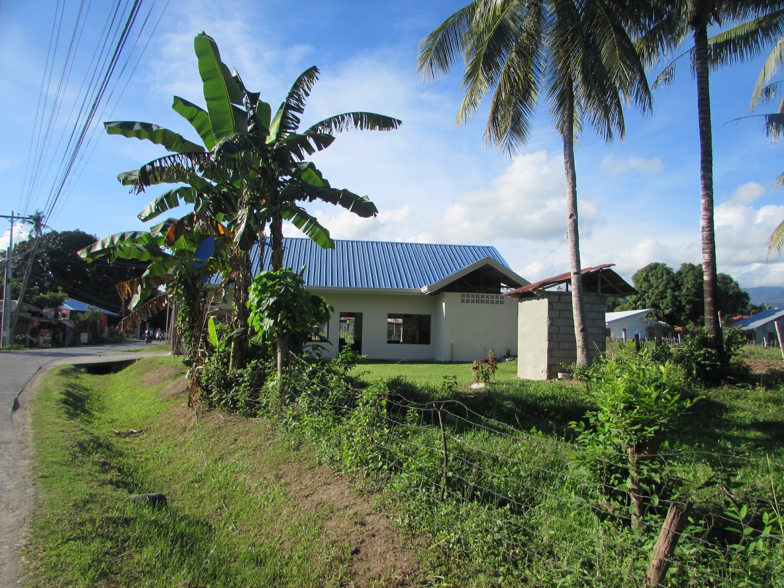
I'm sure that if many of my American friends and family were to visit our house in Magatas, Sibulan, they would, in all likelihood say that we live in the boondocks. However, in Philippines, referring to our location as the boondocks - or more precisely, the "bundók" - wouldn't be completely accurate.

As wikipedia defines the word :

"The boondocks is an American expression from the Tagalog word bundók ("mountain"). It originally referred to a remote rural area, but now, is often applied to an out-of-the-way area considered backward and unsophisticated by city-folk."

 The expression was introduced to English by U.S. military personnel fighting in the Philippine–American War  of 1899-1902.

As the word is used in the U.S., we most definitely live an out-of-the-way area, but we do not live in the bundók.

If you want to see really want to visit remote out-of-the-way places, visit the mountains - the bundók - in Philippines.


Monday, November 25, 2019

Turkeys

Today is Monday, November 25. Later this week, millions of people in the United States will be celebrating Thanksgiving Day. Many of those folks will be serving turkey as the main dish.

The turkeys in the blog post are ones I came upon while walking along the Diversion Road this morning.

This particular American holiday is one of the few not celebrated in Philippines. The country rarely misses a opportunity to celebrate a holiday, and I'm not sure why this one isn't included. Even if Thanksgiving Day were to become a national holiday here, I doubt that turkeys would be a part of the festivities. I've never known anyone living here to eat turkey.

There would be no need for President Duterte to issue any turkey pardons.


Saturday, November 23, 2019

Random Photos Taken While on My Morning Walk

I mentioned in an earlier post this morning  that I have been neglecting my morning walk and had decided to get back into that today. So, after watching The Five - which, thanks to the time difference between Philippines and New York City comes on at six AM here - I took off, with my camera, to walk along the Diversion Road.

I took quite a few photos today. Thirteen of those photos were of the Nuestra Senora de la Salvacion chapel, which I first uploaded to Google Maps before putting in the earlier post.

The rest of the photos taken this morning will be included in this post.

While on the walk, I took a little dirt road to the Okoy river where I spotted a blue building with the name "Church of Christ" clearly painted on the front. I was able to add the church's location to Google Maps. After Google Maps had published my addition, I realized that I had used the name "Church of God" instead of the correct name - "Church of Christ". I immediately attempted to correct my mistake, but at the time of this writing, Google Maps has not accepted my edit.


Nuestra Senora de la Salvacion Chapel

Although I've done a reasonably good job keeping up a dumbbell routine, it's been a while since I've taken a morning walk. I wanted to fix that, so I took off for a walk this morning at 7:00 AM - bringing my camera with me.

I took a little short cut to the Diversion Road, stopping every now and then to take photos along the Okoy river. More about that in an upcoming post.

After walking about 30 minutes, I left the Diversion Road and walked a little trail to the Magatas road. On the way home, I stopped at the Nuestra Senora de la Salvacion chapel to take a few photos. I'll be posting those photos now.

I've also uploaded these 13 photos onto Google Maps. I had already uploaded one photo of the chapel 3 years ago.

The entrance to the chapel is kept locked and the photos of the inside were taken standing at windows, placing the camera inside.